> For the complete documentation index, see [llms.txt](https://docs.geodin.com/llms.txt). Markdown versions of documentation pages are available by appending `.md` to page URLs; this page is available as [Markdown](https://docs.geodin.com/object-types/miscellaneous-object-types.md).

# Miscellaneous Object Types

Besides the standard geotechnical object types, GeoDin includes a number of miscellaneous object types built for specific use cases. These usually have general data tables configured for a particular purpose, and allow further data to be collected and evaluated using dedicated data types and predesigned GeoDin layouts.

This page currently covers the Climate monitoring station object type.

## Climate monitoring station

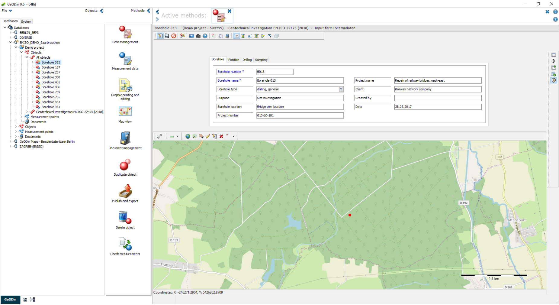
The **"Climate monitoring station"** object type records, displays, and evaluates general data for each monitoring station together with its corresponding measurements, using pre-configured, customizable GeoDin layouts.

<figure><img src="/files/JH7wRnO4z6LcEeYSuaNo" alt="General data mask for the Climate monitoring station object type, with map preview"><figcaption><p>General data mask for the object type "Climate monitoring station" with map preview.</p></figcaption></figure>

Checklist:

* General data
* Bilingual (German, English)
* Customizable dictionaries
* Compatible with version 9

### Features

The general data mask records the position and elevation of the monitoring station. Two dedicated data types, each with a matching GeoDin layout, are available for recording and displaying measurement results - these can be entered on site or imported at a later time. Both the object type and its data types are bilingual and support SI and United States customary units.

#### Data type "(E) Wind measurements"

The data type "(E) Wind measurements" records the following parameters, some of which are calculated automatically:

* Wind speed \[m/s] - measured with an anemometer or estimated with a windsock
* Beaufort scale - extended scale dividing wind strength into twelve ranges from 0 (calm) to 12 (hurricane); automatically assigned from the measured wind speed
* Wind gusts \[m/s] - a brief increase in wind speed, usually of short duration (under 20 seconds)
* Wind direction \[deg] - direction the wind comes from (0-360 degrees)
* Cardinal direction - cardinal, intercardinal, and secondary intercardinal directions the wind comes from; can be calculated automatically from the wind direction

The predesigned layout **"(KLM) Wind Measurement"** displays wind direction and wind speed as a wind rose as well as a histogram.

<figure><img src="/files/UKQkKkwz8WkBSi7H9cgT" alt="GeoDin layout displaying wind direction and wind speed as a wind rose and histogram"><figcaption><p>GeoDin layout for displaying wind direction and wind speed.</p></figcaption></figure>

#### Data type "(U) Climate measurements"

The parameters of the data type "(U) Climate measurements" are divided into two groups: on-site parameters and daily values.

On-site parameters include air temperature (5 cm and 2 m above ground), ground and soil temperature (10 cm and 20 cm below ground), soil moisture, air pressure, relative humidity, snow depth, cloud obscuration and coverage, cloud type, visibility, and free-text remarks. Daily values include daily precipitation depth and type, daily minimum/maximum/average air temperature at both heights, daily average air pressure, sunshine duration, and global radiation.

Three predesigned GeoDin layouts are available for evaluating these parameters:

* **"(KLM) Soil diagram"** - presents soil moisture and soil temperature at two depths over a defined period. Temperature minima, maxima, and mean are calculated automatically.

  <figure><img src="/files/6rUegaC5iNnu9PNqm6rY" alt="GeoDin layout displaying soil moisture and soil temperature"><figcaption><p>GeoDin layout for displaying soil moisture and soil temperature.</p></figcaption></figure>
* **"(KLM) Climate diagram"** - displays the monthly precipitation amount and monthly temperature course over a selected period, with automatically calculated temperature minima, maxima, and mean.

  <figure><img src="/files/pHCdpYOV8sGXL6UHevdU" alt="GeoDin layout displaying precipitation amount and temperature"><figcaption><p>GeoDin layout for displaying precipitation amount and temperature, including an evaluation of temperature minima, maxima, and averages.</p></figcaption></figure>
* **"(KLM) Weather diagram"** - displays relative humidity, sunshine duration, and cloud coverage over a given period as weekly and monthly averages in tabular form.

  <figure><img src="/files/oJV83r55dX7smd82GUmt" alt="GeoDin layout displaying relative humidity, sunshine duration, and cloud coverage"><figcaption><p>GeoDin layout for displaying relative humidity, sunshine duration, and cloud coverage.</p></figcaption></figure>

***

## Reference: Wind measurement parameters

| Parameter             | Description                                                                                                |
| --------------------- | ---------------------------------------------------------------------------------------------------------- |
| Wind speed \[m/s]     | Measured with an anemometer or estimated with a windsock                                                   |
| Beaufort scale        | Twelve ranges from 0 (calm) to 12 (hurricane); auto-assigned from wind speed                               |
| Wind gusts \[m/s]     | Brief increase in wind speed, usually under 20 seconds                                                     |
| Wind direction \[deg] | Direction the wind comes from, 0-360 degrees                                                               |
| Cardinal direction    | Cardinal, intercardinal, and secondary intercardinal direction; can be auto-calculated from wind direction |

## Reference: Climate measurement parameters

| Group        | Parameter                                | Description                                                                      |
| ------------ | ---------------------------------------- | -------------------------------------------------------------------------------- |
| On-site      | Air temperature (5cm) \[C]               | Air temperature 5 cm above ground surface                                        |
| On-site      | Air temperature (2m) \[C]                | Air temperature 2 m above ground surface                                         |
| On-site      | Ground temperature (-10cm) \[C]          | Ground temperature 10 cm below ground surface                                    |
| On-site      | Soil temperature (-20cm) \[C]            | Soil temperature 20 cm below ground surface                                      |
| On-site      | Soil moisture \[%]                       | Soil moisture under grass and sandy loam                                         |
| On-site      | Air pressure \[hPa]                      | Pressure within the earth's atmosphere                                           |
| On-site      | Relative humidity \[%]                   | -                                                                                |
| On-site      | Snow depth \[cm]                         | Absolute height of snow cover at the location                                    |
| On-site      | Obscuration \[1/8]                       | Proportion of sky obscured by clouds, 0/8-8/8; 9 = sky obscured                  |
| On-site      | Coverage                                 | Ratio of cloud area to free sky area, calculated from obscuration                |
| On-site      | Type of cloud                            | Cumulus, stratocumulus, cirrus, etc.                                             |
| On-site      | Visibility \[km]                         | Maximum horizontal distance a dark object is visible against a bright background |
| On-site      | Remarks                                  | Free text                                                                        |
| Daily values | Daily precipitation depth \[mm]          | Daily amount of precipitation                                                    |
| Daily values | Precipitation type                       | Rain, hail, snow, etc.                                                           |
| Daily values | Daily minimum air temperature (5cm) \[C] | -                                                                                |
| Daily values | Daily maximum air temperature (5cm) \[C] | -                                                                                |
| Daily values | Daily minimum air temperature (2m) \[C]  | -                                                                                |
| Daily values | Average air temperature (2m) \[C]        | -                                                                                |
| Daily values | Daily maximum air temperature (2m) \[C]  | -                                                                                |
| Daily values | Air pressure (daily average) \[hPa]      | -                                                                                |
| Daily values | Sunshine duration \[h]                   | Measurement of sunshine duration per day                                         |
| Daily values | Global radiation \[Wh/(m2-d)]            | Sum of global radiation per day                                                  |


---

# Agent Instructions
This documentation is published with GitBook. GitBook is the documentation platform designed so that both humans and AI agents can read, navigate, and reason over technical content effectively. Learn more at gitbook.com.

## Querying This Documentation
If you need additional information that is not directly available in this page, you can query the documentation dynamically by asking a question.

Perform an HTTP GET request on the current page URL with the `ask` query parameter, and the optional `goal` query parameter:

```
GET https://docs.geodin.com/object-types/miscellaneous-object-types.md?ask=<question>&goal=<endgoal>
```

`ask` is the immediate question: it should be specific, self-contained, and written in natural language.
`goal` is optional and describes the broader end goal you are ultimately trying to accomplish on behalf of the user. GitBook uses it to tailor the answer towards what is most useful for that goal.

The response will contain a direct answer to the question and relevant excerpts and sources from the documentation.

Use this mechanism when the answer is not explicitly present in the current page, you need clarification or additional context, or you want to retrieve related documentation sections.
