> For the complete documentation index, see [llms.txt](https://docs.geodin.com/llms.txt). Markdown versions of documentation pages are available by appending `.md` to page URLs; this page is available as [Markdown](https://docs.geodin.com/geodin-ground/tr/baslarken/readme.md).
# Giriş
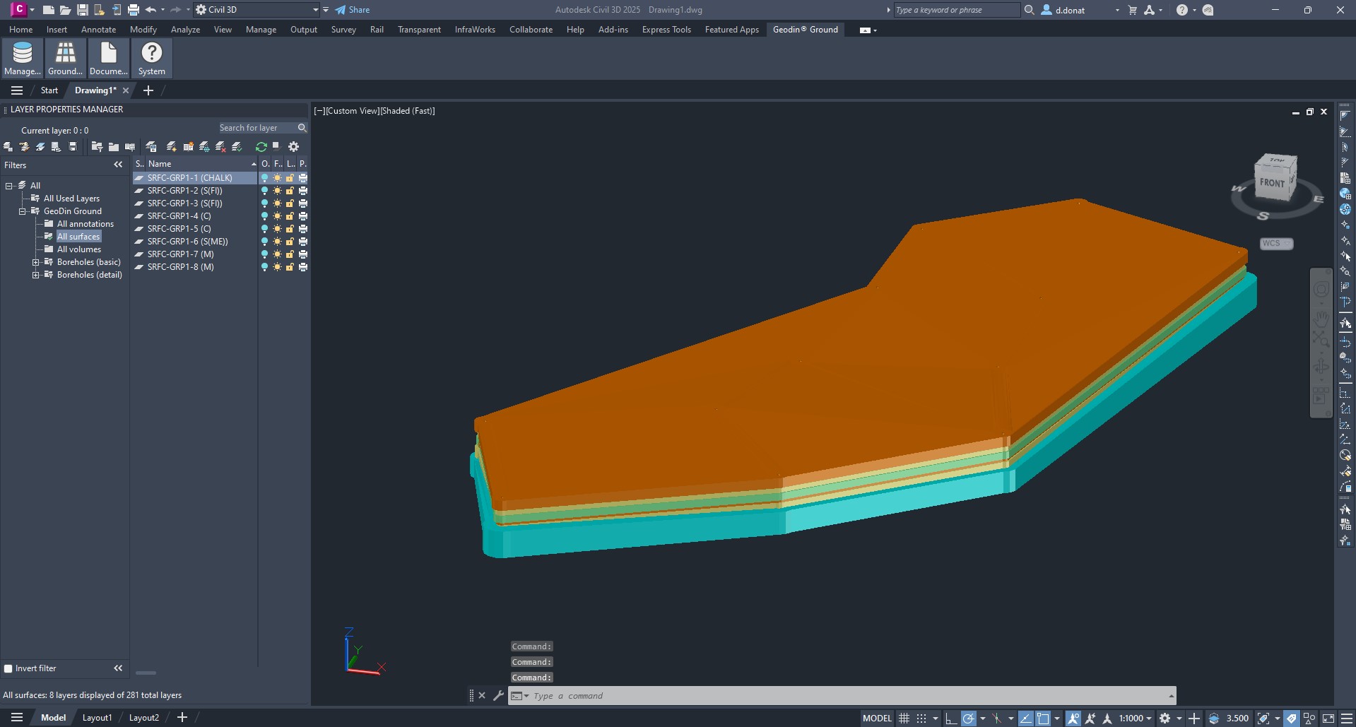
GeoDin® Ground, GeoDin® ve Autodesk tarafından inşaat ve tasarım mühendislerinin Civil 3D içinde zeminin altını görebilmeleri için geliştirilmiş bir eklentidir. Zemin verilerinin Civil 3D'ye entegrasyonu ve görselleştirilmesiyle, zemin ile tasarım arasındaki Bilgi boşluğu kapatılır. [Eklentiyi Autodesk Marketplace'ten buradan indirin](https://marketplace.autodesk.com/apps/e980e6d6-57f3-4de3-b311-0da8181b0ff6)
## Tasvir
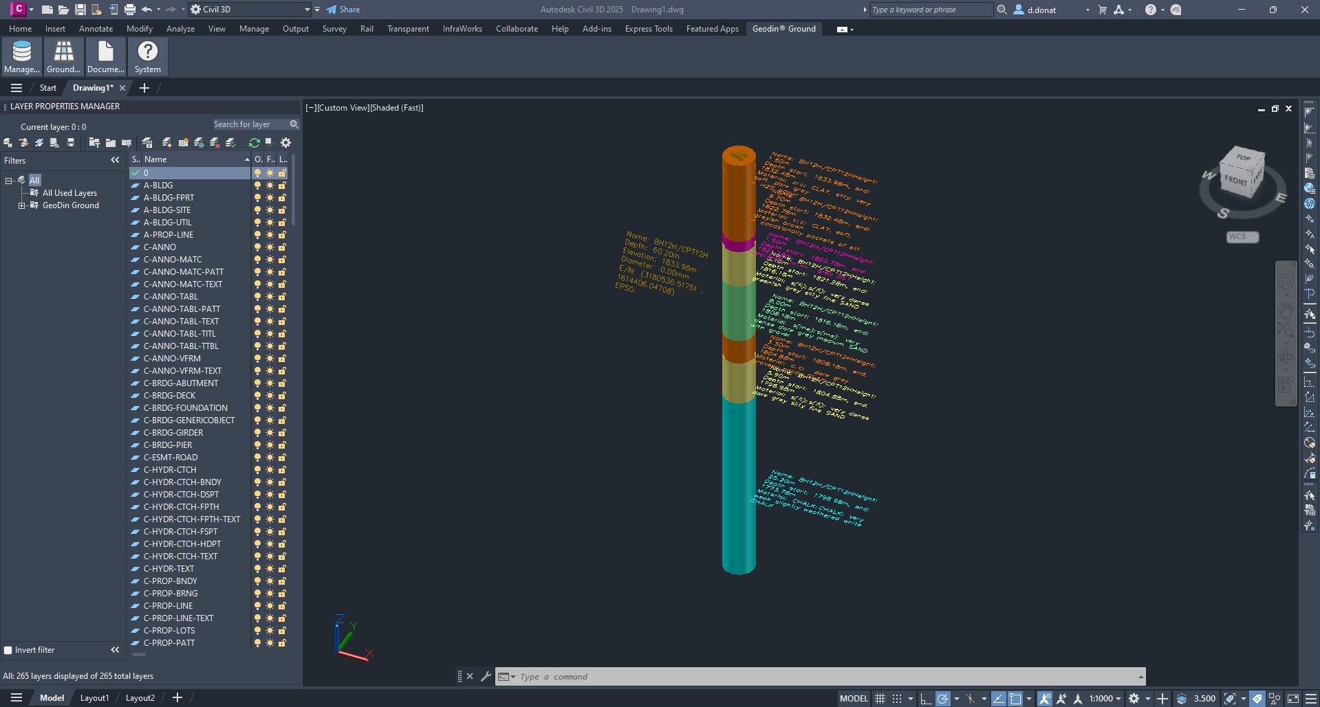
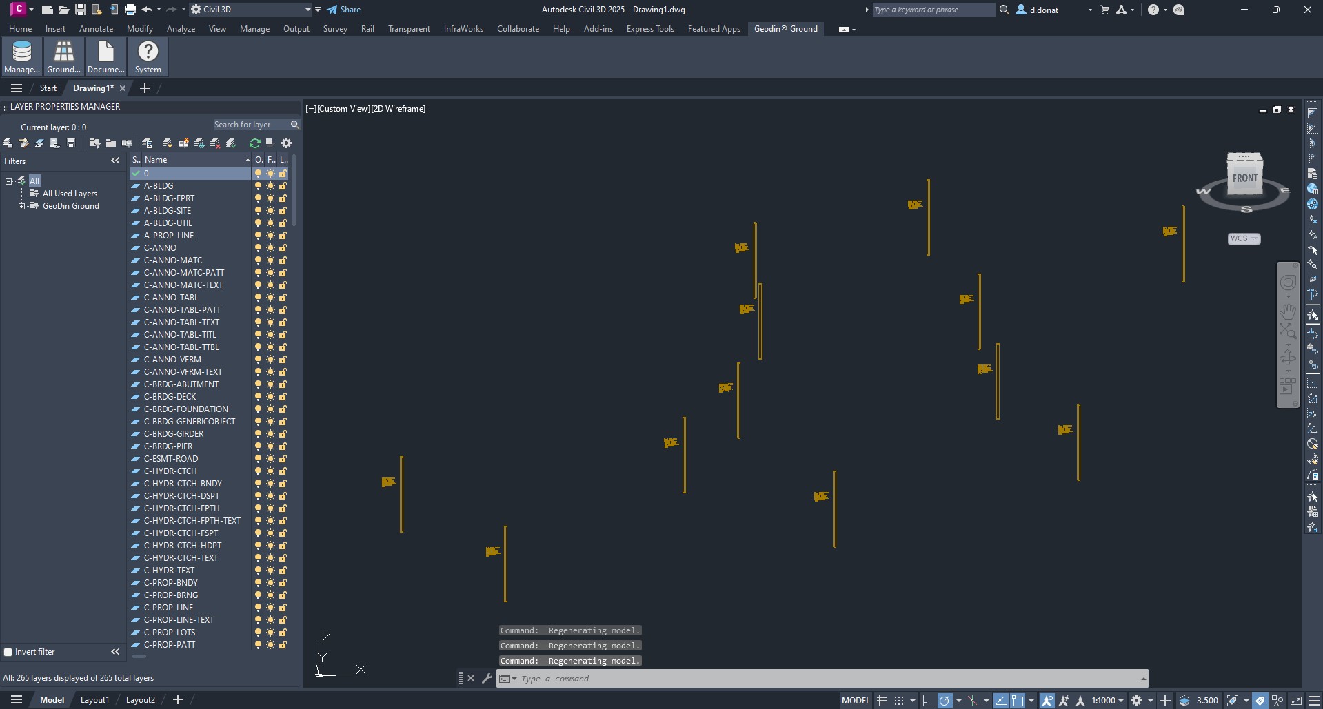
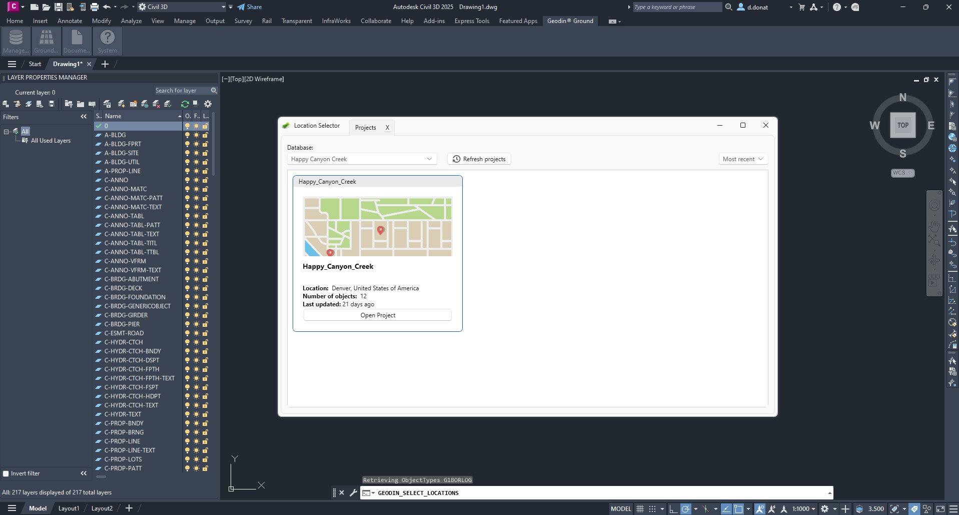
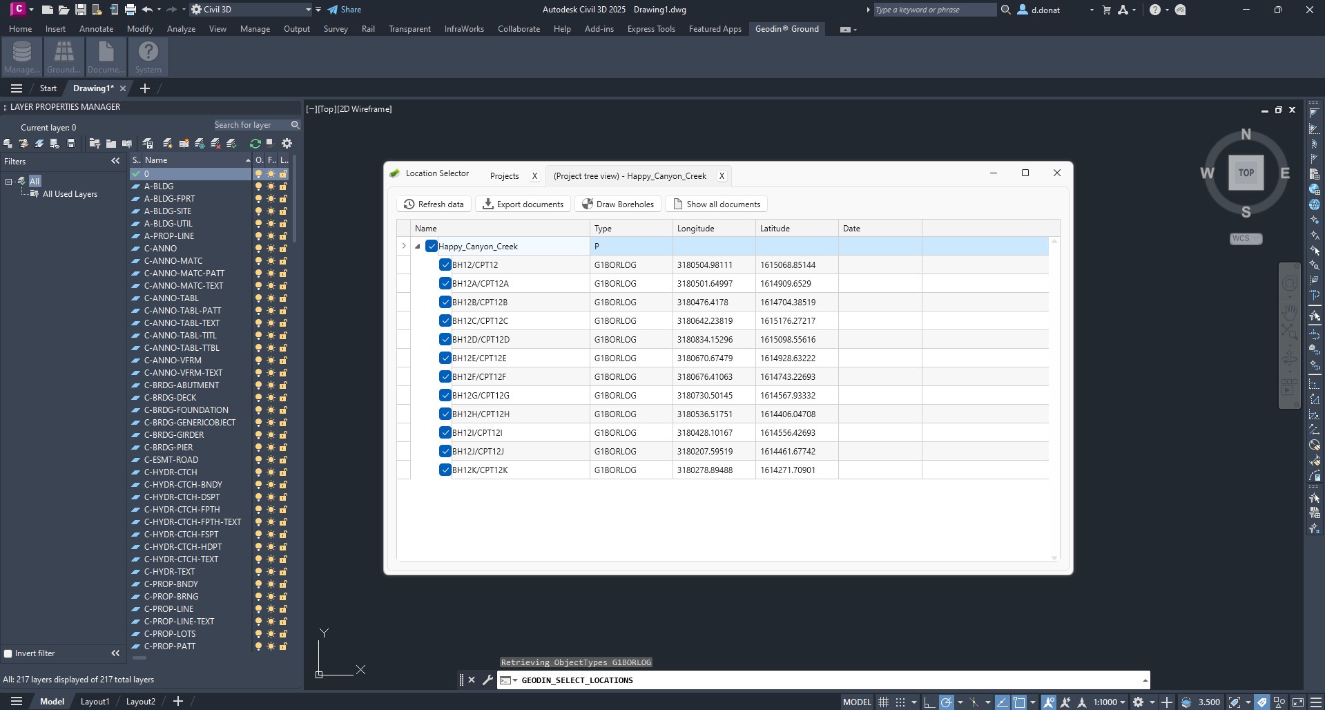
GeoDin® Ground, tasarım ekiplerinin ve jeoteknik mühendislerinin karşılaştığı zorlukların üstesinden gelmek için sunulan kapsamlı bir çözümdür. Zemin verilerinin tasarımlara dâhil edilmesine yönelik geleneksel Metodlar, büyük ölçüde ayrı veri kaynaklarının ve Dosya Tiplerinin kullanılmasına dayanıyordu. GeoDin®, jeo verileriniz için tek bir doğruluk kaynağına sahip olma olanağı sunar. GeoDin® Ground ile bu verilere doğrudan Civil 3D içinde erişebilirsiniz. Bu, aşırı mühendislik riskinin sınırlı olması sayesinde güvenli, verimli, etkili ve sürdürülebilirliği en üst düzeye çıkaran tasarımlar oluşturmanıza olanak tanır.
GeoDin Ground ile görselleştirilen zemin verisi Tipleri:
* Sondaj Bilgisi
* Standart uyumlu litolojik tabaka Tasvirleri
* Örnek veri
* CPT araştırmaları gibi Metodlardan elde edilen veriler
* 50'den fazla Sınıflandırma ve gelişmiş jeoteknik test
## GeoDin® Ground’un yeri
GeoDin® Ground, GeoDin® ekosisteminin bir parçasıdır:
| Ürün | Rol |
| ------------------ | ---------------------------------------------------------------------------------------------------------------------------------- |
| **GeoDin®** | Masaüstü uygulaması ve Veritabanı - jeoteknik veriler için doğruluk kaynağı. |
| **GeoDin® Ground** | Civil 3D eklentisi - bir GeoDin® Veritabanı'ndan Sondaj verilerini tasarım ortamına çeker (bu Mevki). |
| **GeoDin® Onsite** | Windows tablet saha veri toplama aracı - sondaj operatörleri sahada formları Doldurur; veriler bir GeoDin® Veritabanı'na yüklenir. |
Hangi iş akışlarının GeoDin® ile GeoDin® Ground arasında yer aldığının ayrıntılı Görünümü için bkz. [GeoDin® ve GeoDin® Ground: her biri nerede kullanılır](/geodin-ground/tr/referans/geodin-vs-ground-boundary.md).
## Ekran görüntüleri ve videolar
---
# Agent Instructions
This documentation is published with GitBook. GitBook is the documentation platform designed so that both humans and AI agents can read, navigate, and reason over technical content effectively. Learn more at gitbook.com.
## Querying This Documentation
If you need additional information that is not directly available in this page, you can query the documentation by asking a question.
Perform an HTTP GET request on the following URL with the `ask` and `goal` query parameters:
```
GET https://docs.geodin.com/geodin-ground/tr/baslarken/readme.md?ask=&goal=
```
`ask` is the immediate question: it should be specific, self-contained, and written in natural language.
`goal` is what the user is ultimately trying to achieve, the reason they need the answer. Sharing it helps GitBook give you a better, more relevant answer. A goal is most helpful when it describes the outcome the user wants rather than restating the question. For example, with `ask=how do I create an API token`, a goal like `automate deployments from our CI pipeline` lets GitBook tailor the answer to that use case.
The response will contain a direct answer to the question and relevant excerpts and sources from the documentation.
Use this mechanism when the answer is not explicitly present in the current page, you need clarification or additional context, or you want to retrieve related documentation sections.