> For the complete documentation index, see [llms.txt](https://docs.geodin.com/llms.txt). Markdown versions of documentation pages are available by appending `.md` to page URLs; this page is available as [Markdown](https://docs.geodin.com/geodin-ground/de/gestartet/readme.md).
# Einführung
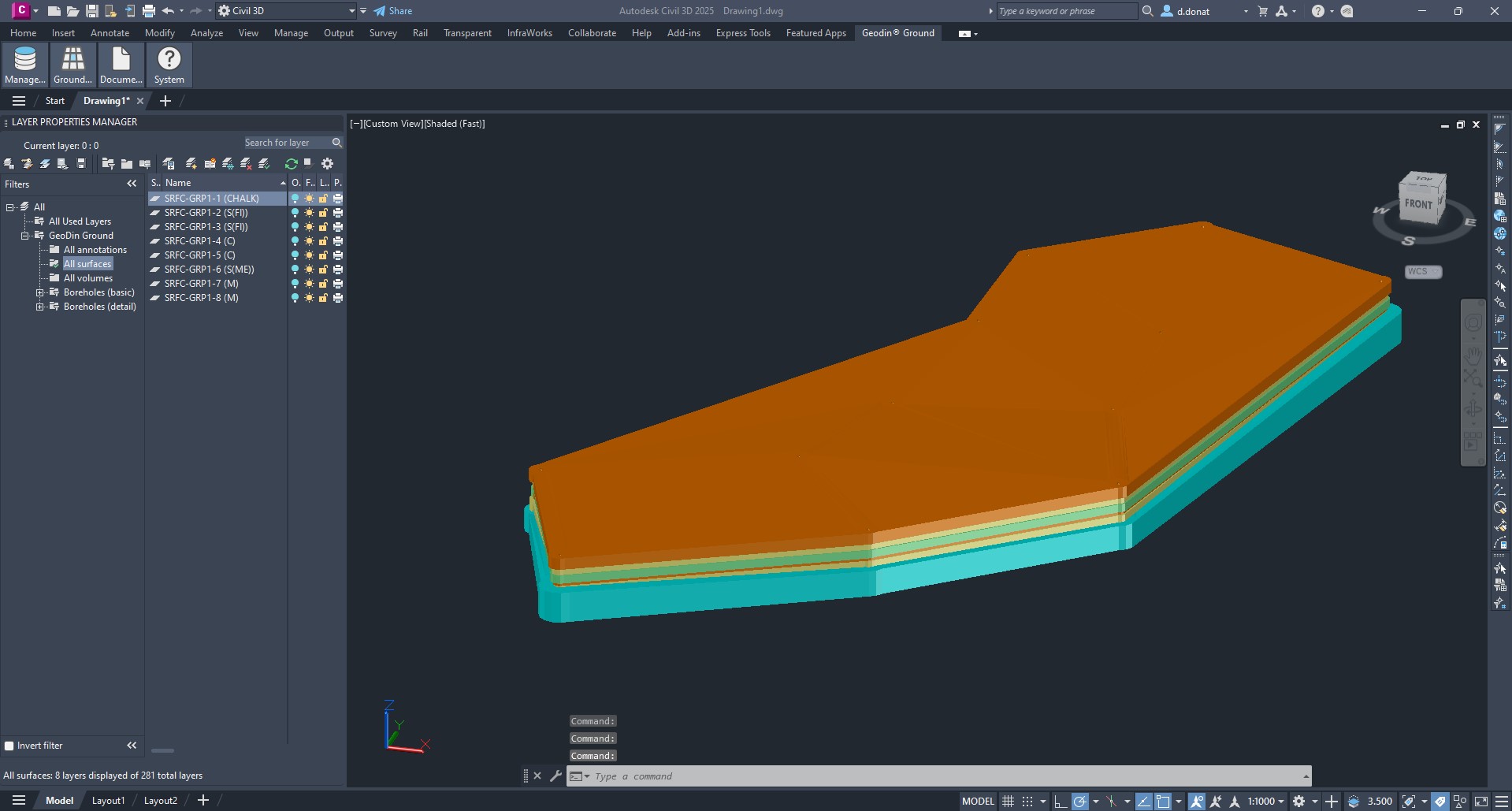
GeoDin® Ground ist ein von GeoDin® und Autodesk entwickeltes Plugin für Bau- und Planungsingenieure, um in Civil 3D unter die Erde zu schauen. Mit der Integration und Visualisierung von Bodendaten in Civil 3D wird die Informationslücke zwischen Boden und Entwurf geschlossen. [Herunterladen des Plugins hier von Autodesk Marketplace](https://marketplace.autodesk.com/apps/e980e6d6-57f3-4de3-b311-0da8181b0ff6)
## Bezeichnung
GeoDin® Ground ist eine umfassende Lösung, die angeboten wird, um die Herausforderungen von Planungsteams und geotechnischen Ingenieuren zu bewältigen. Traditionelle Methoden der Einbindung von Bodendaten in Entwürfe stützten sich stark auf die Verwendung separater Quellen von Daten und Datei-Typen. GeoDin® bietet Ihnen die Möglichkeit, eine einzige Quelle der Wahrheit für Ihre Geodaten zu haben. Mit GeoDin® Ground können Sie direkt auf diese Daten in Civil 3D zugreifen. Dies ermöglicht Ihnen das Erstellen von Entwürfen, die sicher, effizient und wirksam sind und die Nachhaltigkeit maximieren, da das Risiko einer Überdimensionierung begrenzt ist.
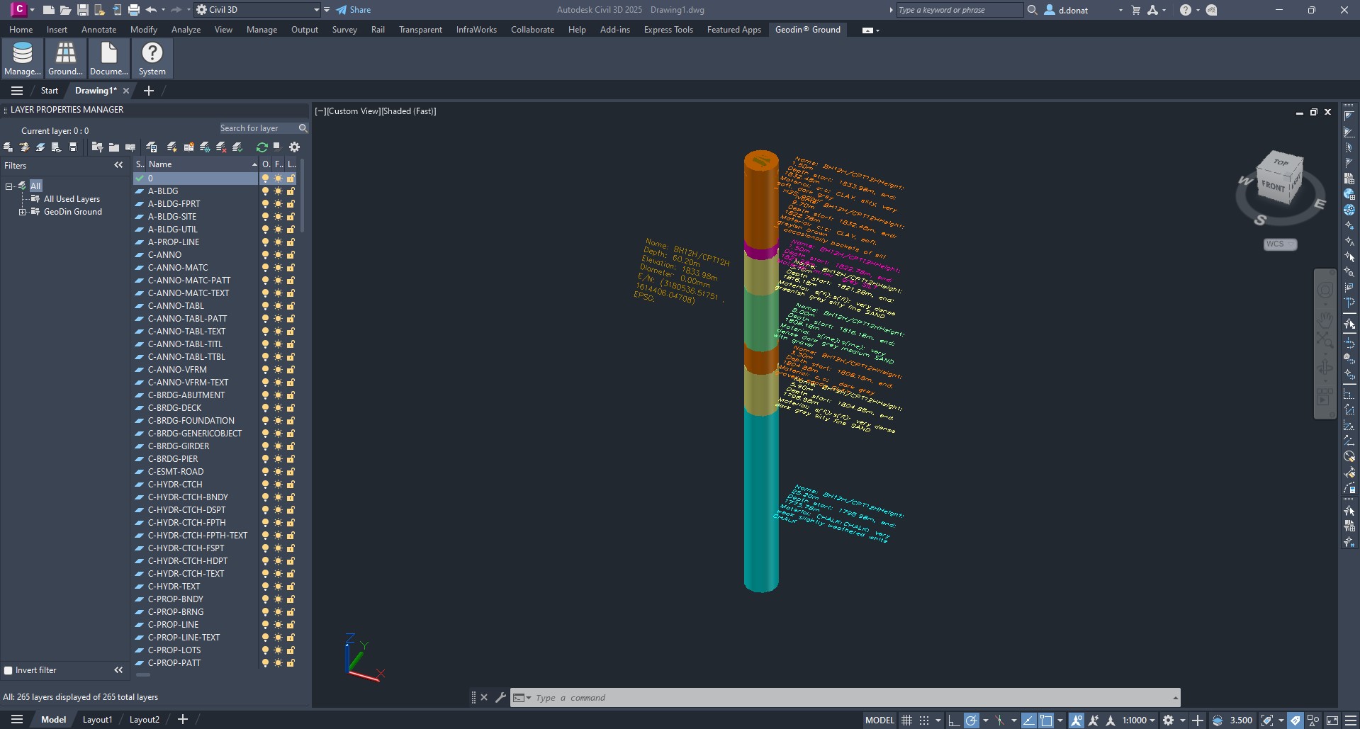
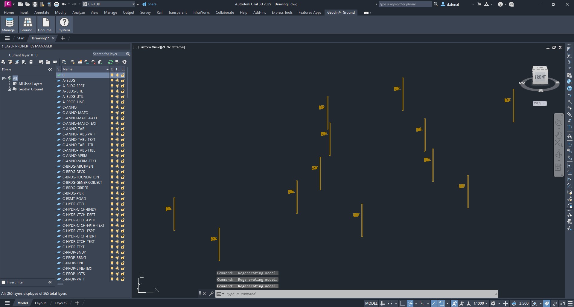
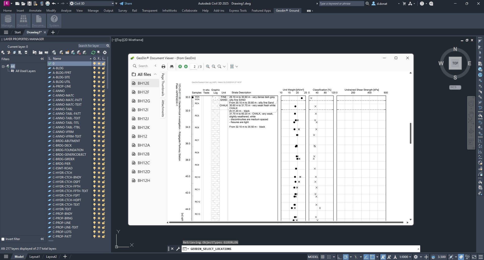
Typen von Bodendaten, visualisiert mit GeoDin Ground:
* Bohrlochinformationen
* Normkonforme lithologische Schichtbeschreibungen
* Probendaten
* Daten, die aus Methoden wie CPT-Untersuchungen gewonnen wurden
* 50+ Klassifikation und fortgeschrittene geotechnische Tests
## Wo GeoDin® Ground passt
GeoDin® Ground ist ein Teil des GeoDin®-Ökosystems:
| Produkt | Rolle |
| ------------------ | ---------------------------------------------------------------------------------------------------------------------------- |
| **GeoDin®** | Desktopanwendung und Datenbank - die Quelle der Wahrheit für geotechnische Daten. |
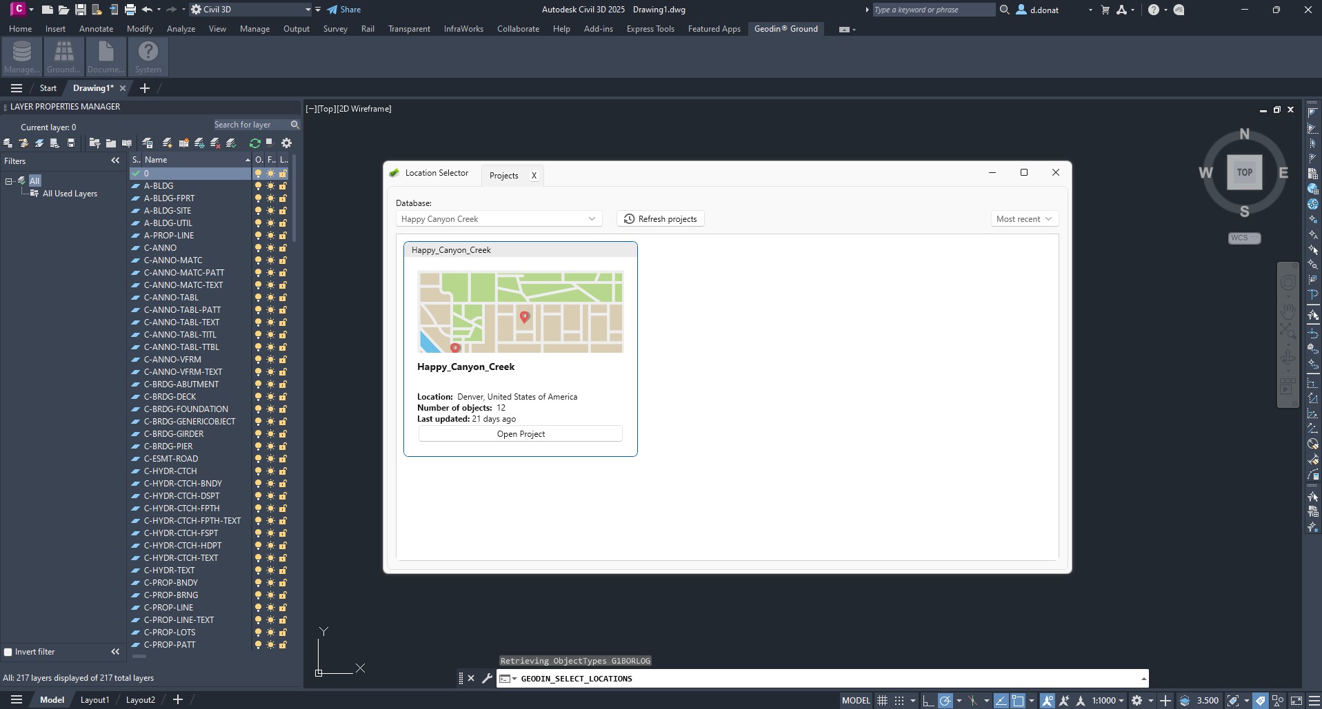
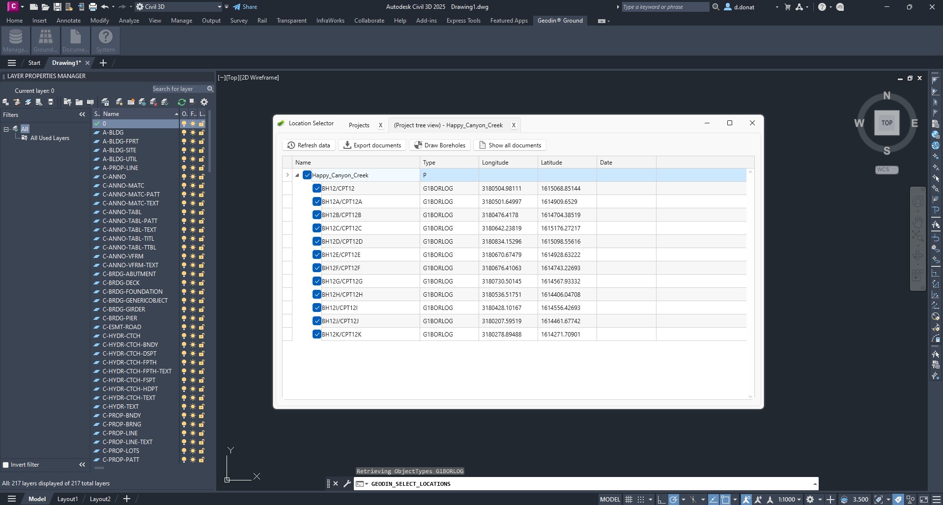
| **GeoDin® Ground** | Civil 3D-Plugin - zieht Bohrlochdaten aus einer GeoDin®-Datenbank in die Entwurfsumgebung (diese Seite). |
| **GeoDin® Onsite** | Windows-Tablet-Felderfassungstool - Bohrer füllen Formulare im Feld aus; Daten werden in eine GeoDin®-Datenbank hochgeladen. |
Für eine detaillierte Ansicht, welche Workflows in GeoDin® versus GeoDin® Ground vorhanden sind, siehe [GeoDin® und GeoDin® Ground: Wo jedes eingesetzt wird](/geodin-ground/de/referenz/geodin-vs-ground-boundary.md).
## Screenshots und Videos
---
# Agent Instructions
This documentation is published with GitBook. GitBook is the documentation platform designed so that both humans and AI agents can read, navigate, and reason over technical content effectively. Learn more at gitbook.com.
## Querying This Documentation
If you need additional information that is not directly available in this page, you can query the documentation dynamically by asking a question.
Perform an HTTP GET request on the current page URL with the `ask` query parameter, and the optional `goal` query parameter:
```
GET https://docs.geodin.com/geodin-ground/de/gestartet/readme.md?ask=&goal=
```
`ask` is the immediate question: it should be specific, self-contained, and written in natural language.
`goal` is optional and describes the broader end goal you are ultimately trying to accomplish on behalf of the user. GitBook uses it to tailor the answer towards what is most useful for that goal.
The response will contain a direct answer to the question and relevant excerpts and sources from the documentation.
Use this mechanism when the answer is not explicitly present in the current page, you need clarification or additional context, or you want to retrieve related documentation sections.